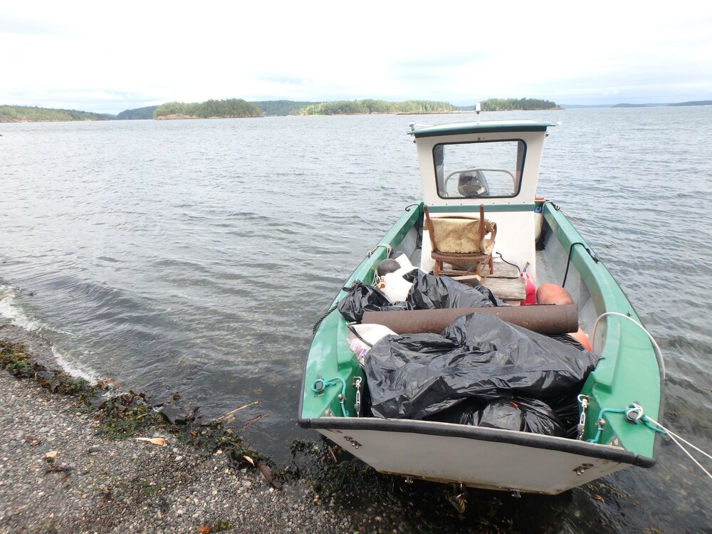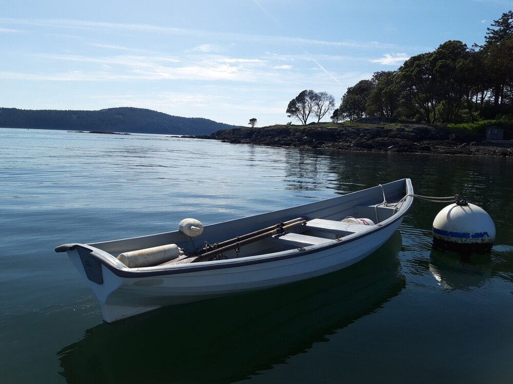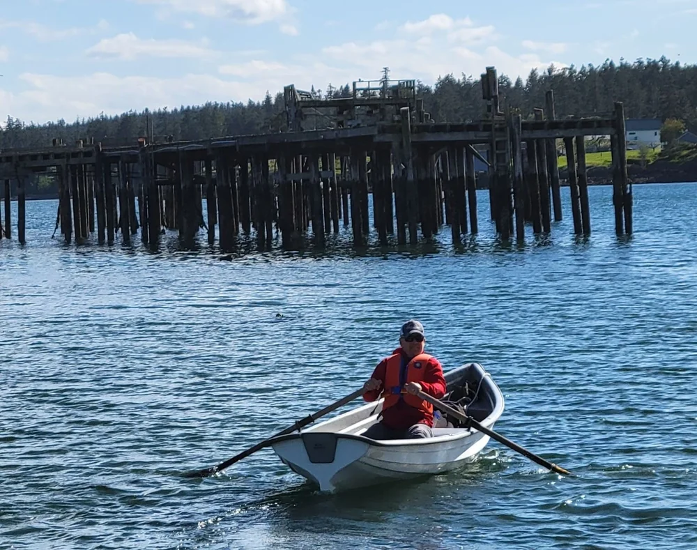
by Marissa Paulling, graduate student at the University of Washington
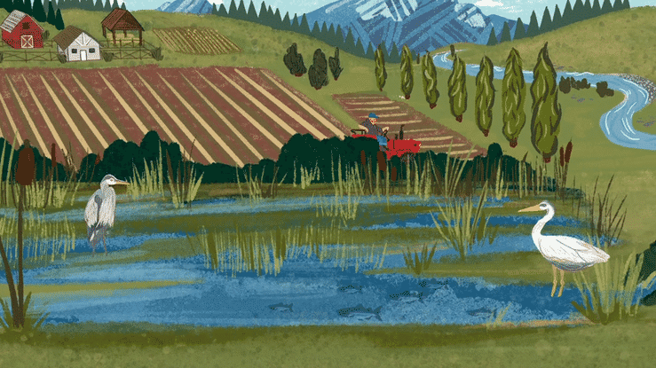
In the early part of the new millennium, things were not looking promising for the groundfish fishery of the West Coast. Multiple stocks had been designated overfished, and the Federal Government declared the fishery an economic disaster on Jan. 26, 2000. Too many participants were harvesting too few fish, and the future of sustainable employment for fishermen, many of whom came from coastal communities which depended on fishing, was in question.
>
“I am excited to contribute to knowledge and research being done to address a local conservation challenge, and to support the fishing communities that make up so much of our West Coast fisheries. ”
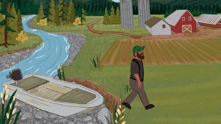
To address the collapse of the groundfish fishery, catch limits for trips were created, vessel and permit buy-backs programs were created, and the trawl rockfish conservation area (RCA) closed several thousand square miles to bottom-contact gear. The Nature Conservancy played an active role in working with communities and agencies. TNC privately bought out trawl permits, which they later helped redistribute, and worked with fishermen to advance community access to the fishery while advancing technology for conservation use. Much of this work was focused along California’s Central Coast.
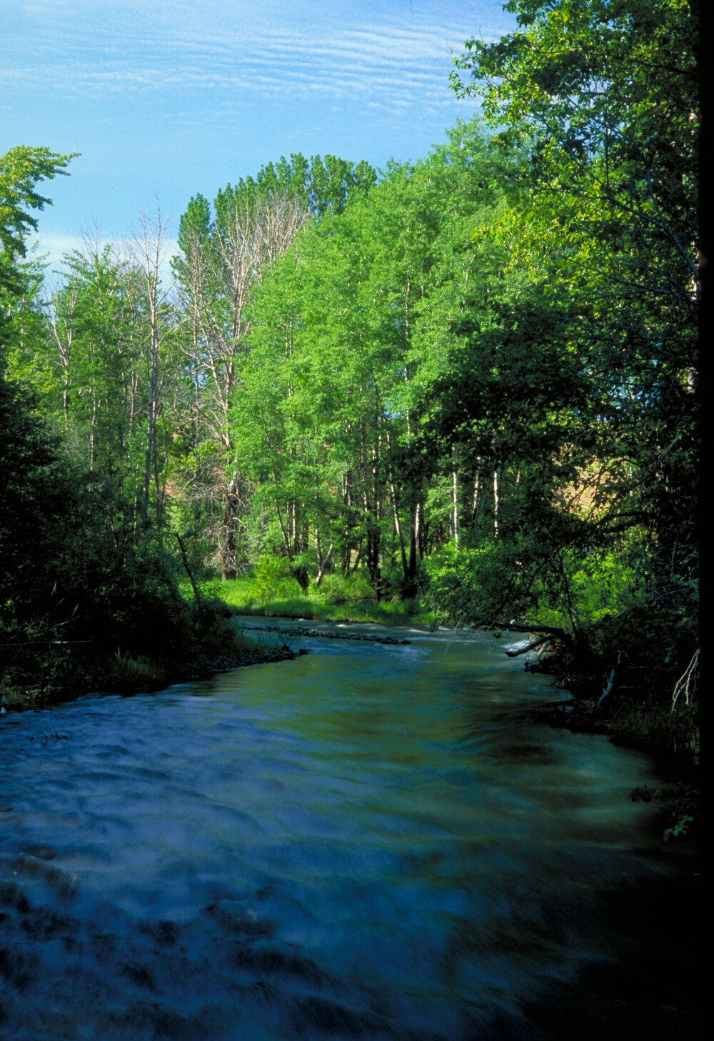
Photo: Marissa Paulling, graduate student at the University of Washington
In what many managers and environmentalists are touting as one of conservation’s greatest success stories, the trawl Rockfish Conservation Area (RCA) off the coasts of Oregon and California was reopened on January 1, 2020, as described by Amendment 28 to the West Coast groundfish fisheries management plan.
Spatial closures are a frequently utilized conservation measure, and a growing body of literature describes best practices for managing closed areas or various human behavior responses to closed areas. However, there is a gap in the literature that describes human response to reopened fisheries areas. The reopened trawl RCA provides an important learning opportunity for managers, partners, and fishermen.
Using Vessel Monitoring System (VMS) data, Christina Madonia, Patrick Dodd, and I collaborated with NOAA and TNC to map vessel tracks in response to the reopening of the trawl RCA as part of our graduate research. We wanted to see how fishermen and probable fishing behavior changed between 2015-2020. We were hopeful that the first five years of vessel tracks would inform us of “normal” fishing activity, and that 2020 would exhibit notable differences. We had two hypotheses: the first involved the extent to which fishermen would use these new areas. The second hypothesis was based on our expectation that 2020 would be a year of significantly different fishing behavior.
The Port of Ilwaco, located at the mouth of the Columbia River in Ilwaco, Washington. Photo credit: © Erika Nortemann
The year 2020 was a year unlike any other, and this was representative of our findings of fishing behavior off the West Coast. COVID-19 altered vessel willingness to take an observer. Markets were disrupted, and first receivers tackled Covid outbreaks at their landings. Therefore, only the first quarter of annual fishing data was analyzed. Additionally, we observed a change in ocean productivity, as proxied by the Pacific Decadal Oscillation Index (PDO) over the course of the analysis. But fishermen returned to the reopened RCA, nonetheless.
Of the changes we observed in reopened RCA use, there was a dramatic shift of fishing pressure shoreward. This demonstrates a departure from the trend that many fishermen follow, wherein flatfish and sablefish tend to be offshore in the winter months and migrate onshore during the summer months to spawn. Rockfishes tend to show more site fidelity, not normally engaging in these seasonal onshore-offshore migrations, but rather staying close to home.
The RCA was originally a tool designed to address the overfished status of several rockfish stocks. Six of the seven rockfish stocks that the trawl RCA protected have been rebuilt since the closure, and the last of the stocks is projected to be rebuilt decades ahead of the originally forecast. However, for conservation to be used the best way possible, and to prevent rebuilt stocks from declining, managers must continue with other programs and regulations in place, including a catch shares structure and observer coverage. The Nature Conservancy continues to work closely with several California partnerships to ensure that their livelihoods are sustainable and well managed.
As a student in the Levin Lab at the University of Washington, much of the student work incorporates applying conservation practices within partnerships between shareholders and The Nature Conservancy (TNC). Understanding the history and network that TNC has assisted in creating with fishermen, especially along California’s Central Coast, gives me a great sense of pride. Not only do I trust the seafood options available to me from this region, but as a student of the University of Washington (UW), and with prior field experience with groundfish, I understand the importance of the TNC-UW partnership in fostering conservation focused on the intersection of people and nature.
Learn more about the TNC-UW Partnership